XRoad
An iPad app for my UTV that records where I ride, draws my trails by how often I've driven them, and keeps working with no cell signal.

XRoad runs full-screen on an iPad mounted in my UTV. While I ride, it records my path with the iPad's GPS. Over time those rides add up to a map of my own trails, drawn as a heat map: thin yellow for a trail I've driven once, thick red for the regulars. Tap any trail to see how long it is, how many times I've driven it, how much it climbs, and to get a route there.
It's built for places without signal. Map tiles from the USGS are saved on the iPad as soon as they're viewed, and routing runs over my own recorded trails, with directions spoken out loud. The app cleans GPS glitches out of each ride, merges fragments into continuous named trails, and never truly deletes anything: hidden trails can always be restored, and it keeps daily backups.
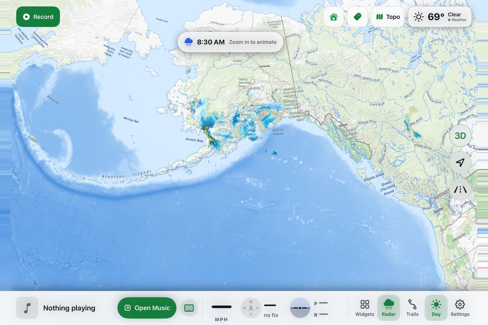
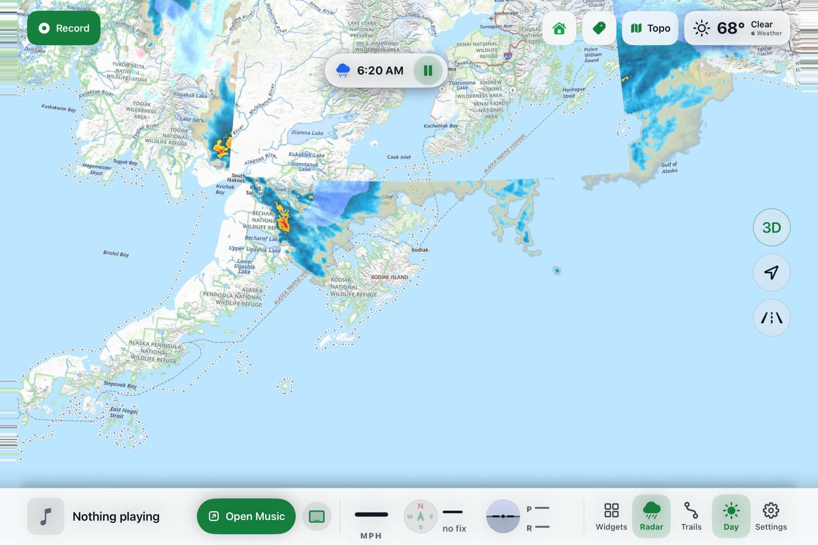
A footer along the bottom holds music controls and live speed, heading, altitude and tilt, and a weather chip and precipitation radar sit on top of the map.
XRoad started in June as an iPad dashboard for my truck. When the iPad moved to the UTV, I stripped out the road-only parts and rebuilt it around a single trail map. It's for my own use and isn't on the App Store.
The screenshots here are from the iPad simulator.
Build log
Renamed XRoad
The app became XRoad, with a new icon, a full-width footer, a green color scheme and radar fixes.
Heat-map trails and offline maps
Rides now merge into long named trails drawn as a heat map. Tapping a trail opens a card with its elevation profile, and USGS maps are saved for offline use.
Rebuilt around one map screen
Rebuilt as a single full-screen trail map, with GPS-glitch cleaning, trail deleting and backups. Installed on the iPad with every existing ride preserved.
Off to the UTV
The iPad moved to the UTV, so road navigation came out and the off-road trail map became the focus.
Started as an iPad dashboard
First build of an iPad dashboard with maps, music, weather and engine gauges.