UAP Finder
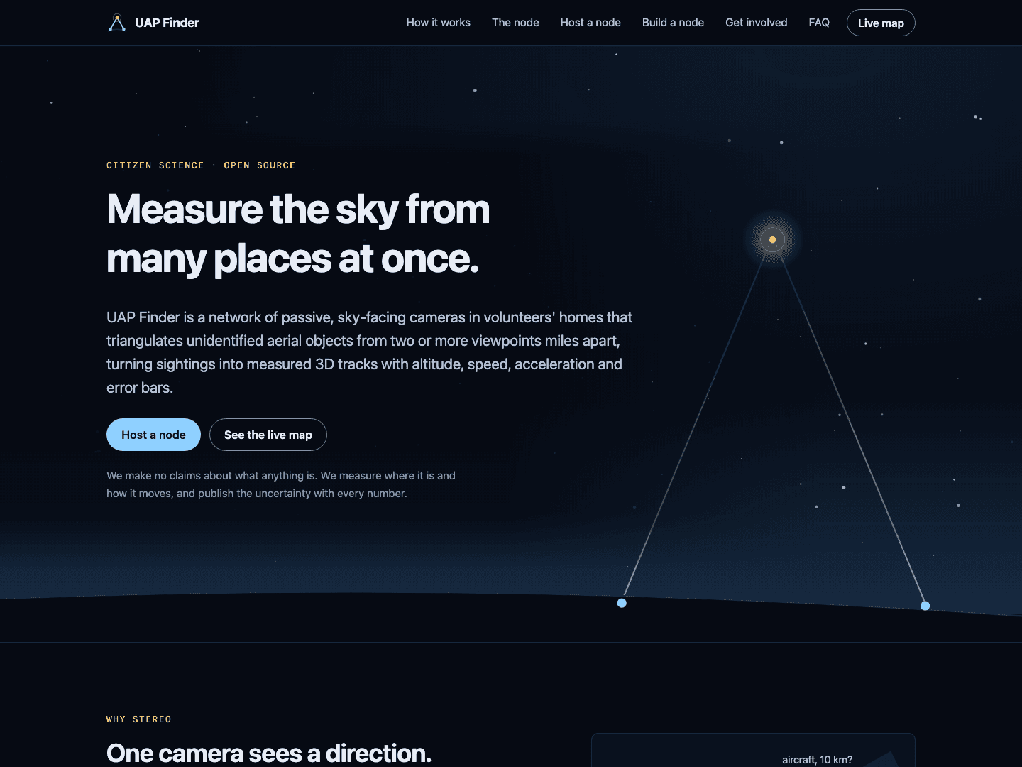
A citizen-science network of passive, sky-facing cameras that triangulates unidentified aerial objects from two or more places at once into measured 3D tracks with error bars.
At a glance
- What it is
- A citizen-science network of passive sky cameras that triangulates objects in 3D, with a public website and live map
- Built with
- Python with OpenCV and FastAPI, PostGIS and Redis; a React, TypeScript and CesiumJS map; an Astro website
- Runs on
- NVIDIA Jetson Orin Nano nodes with a camera and GPS; a server on a Mac or Linux box; the website and map on Vercel
- License
- Public source on GitHub; no license chosen yet
- Status
- Software built and tested in CI. Not yet run on real node hardware; the live map shows labelled demo data until the network launches
- Started
- Oct 2026
- Website
- uapfinder.vercel.app
- Live map
- uapfinder.vercel.app/map
- How it works
- uapfinder.vercel.app/how-it-works
About
UAP Finder is a citizen-science project I'm building: a network of passive, sky-facing cameras in volunteers' homes that measures where unidentified objects in the sky are and how they move. One camera only sees a direction. Two cameras miles apart that see the same thing at the same instant can triangulate its position, so a sighting becomes a 3D track with altitude, speed and acceleration, each with error bars. It makes no claims about what anything is.
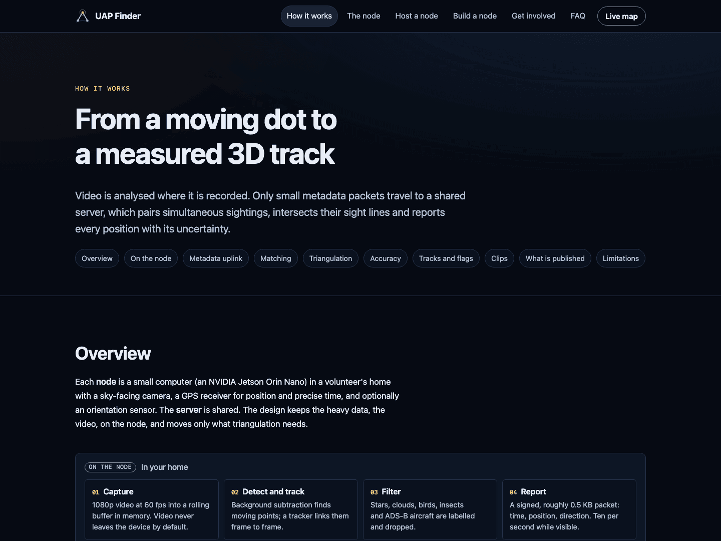
Each node is a small NVIDIA Jetson computer with a camera and a GPS receiver. It analyses its own video, filters out stars, clouds, birds, insects and aircraft that broadcast their position, and sends only small signed packets with a direction and a GPS-timed timestamp. The video stays on the node.
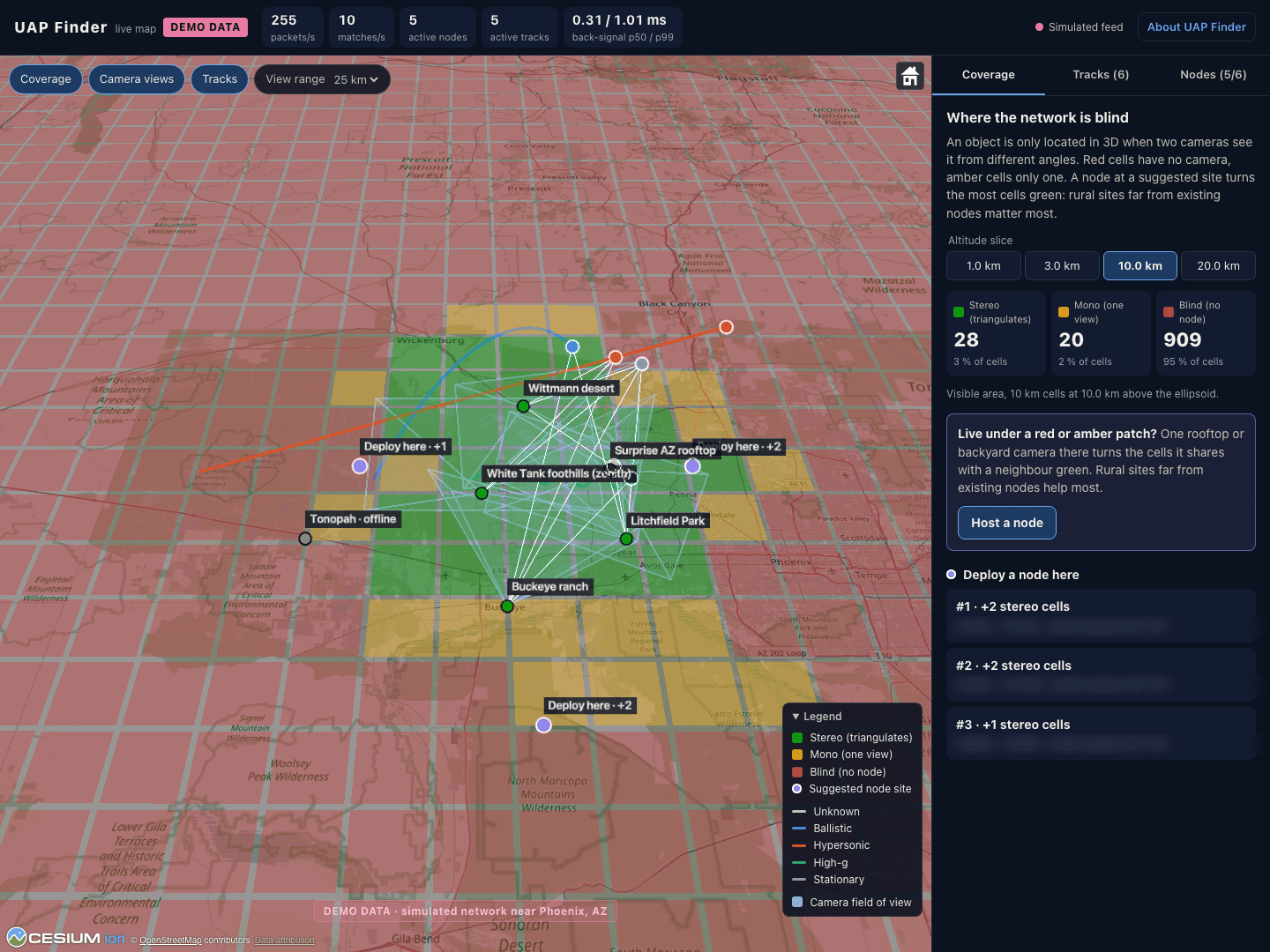
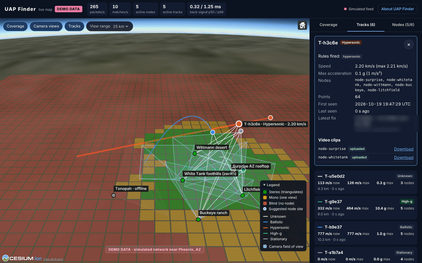
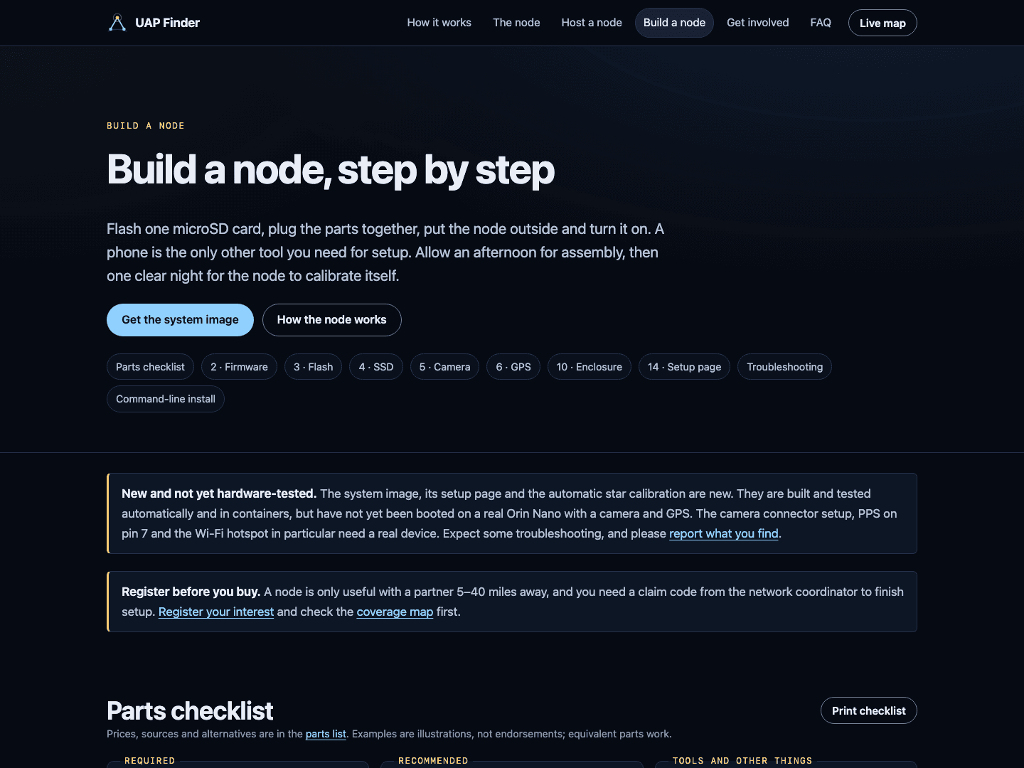
A server matches reports from nodes within 80 miles that land within 50 milliseconds of each other, intersects their lines of sight and builds tracks, flagging anything hypersonic or pulling more than 10 g. The public website explains the project, has a step-by-step build guide and a volunteer sign-up, and hosts a live 3D map of nodes, camera views, tracks and coverage gaps.
The software is written and tested, including a simulator that checks the server's tracks against known ground truth. It hasn't run on real node hardware yet, so the live map shows clearly labelled demo data for now. Public node positions are rounded to about a kilometre so they can't be traced to anyone's house.
Gallery
Build log
No updates yet. New entries show up here as the build moves along.
Let's talk.
Tell me what you're building. I read every message myself and usually reply within one business day.